Mariners are advised that marine geophysical survey work will commence in the North Channel over both the Moyle Interconnector Cables and the Scotland to Northern Ireland Pipeline in September-October 2022. Survey work will also be taking place on the Larne Lough Crossing and Belfast Lough Crossing pipelines. A Notice to Mariners describing the work can be downloaded here and is summarised below.
Survey work
Survey work is due to be carried out by two vessels (detailed below). The vessels will survey the route of the Moyle Interconnector cables, the Scotland to Northern Ireland Pipeline (SNIP) in the North Channel between Northern Ireland and Scotland and also the route of the Larne Lough Crossing and Belfast Lough Crossing pipelines.
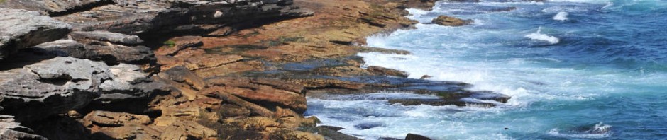
The location of the survey area is illustrated in the Notice to Mariners that can be downloaded here .
Schedule
The nearshore survey work is due to start on 16th September and be completed by 16th October. The offshore survey work is due to start on the 16th September and to be completed by the 16th October.
- Offshore survey – the vessel Noordhoek Pathfinder will be mobilising from the Port of Larne. It shall survey each asset individually, taking approximately 4 days for each asset. The vessel will survey inshore as far as a depth of 10m below LAT.
- Nearshore survey – the vessel Deep Marker will operate from the shore (MHWS) to a depth of 15m below LAT. The survey work in the North Channel is expected to take 1 day on each asset (i.e. 3 days on the Scottish side and 3 days on the NI side). The survey of the Larne Lough crossing is expected to take 6 days, and the Belfast Lough crossing survey is expected to take 3 days.
All of these dates and durations may change, subject to weather and sea conditions.
For part of the nearshore survey the vessel Deep Marker will deploy a cable between itself and the shore. This cable may be up to 1km long. Mariners are asked not to pass between this vessel and the shore at these times.
Vessel details
Details of the vessels involved in these operations, along with their present location can be found on MarineTraffic.com via the links below:-
- Nearshore survey: Deep Marker | Call sign PDXJ
- Offshore survey: Noordhoek Pathfinder | Call sign PBYN
All mariners are requested to maintain a safe distance (500m) from the survey vessels at all times.
The vessels will monitor VHF Channel 16 at all times and can be contacted on this channel.
Please contact Neil Johnston, who is the Moyle Cable project lead (neil.johnston@mutual-energy.com); or Ryan West, who is the SNIP project lead (ryan.west@mutual-energy.com) if you have any queries or concerns about this notice.