The Isle of Man Interconnector Cable runs beneath the sea between Douglas on the Isle of Man, and Bispham on the Lancashire coast. It was installed in September 2000 and spans a distance of 104km (56 nautical miles), linking the Isle of Man to the UK National Grid.
Information for Mariners – 2016 Update
An updated version of the information leaflet for mariners about the IOM Interconnector Cable has recently been produced and can be downloaded here. The key features of the cable route of interest to mariners are summarised below.
Cable Protection
At several points along the cable route the cable is surface laid where there are joints between sections of the cable and where it crosses other cables and pipelines.
To protect the surface laid cable and to ensure that fishing can continue safely along the route, protective mattresses have been installed at six locations. Details of these locations are given in maps here.
Surveys in 2011 found that there was some movement of the rock mattresses closest to the Lancashire coast. You can download a notice about potential hazards in this area here.
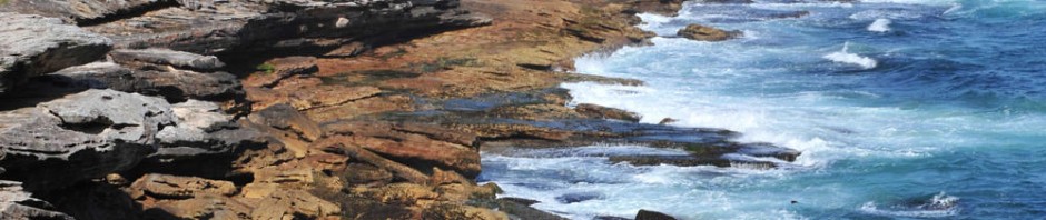
Exposed Cable
The seabed close to the Lancashire coast is very mobile. Parts of the cable lying within 2 nautical miles of the coast may occasionally be exposed by movements of the sand on the seabed. The Manx Cable Company monitor the cable carefully along this part of the route, and published a notice to mariners based on recent survey information here.
Background information
More information about the IOM Interconnector cable can be found on our website here. The Manx Cable Company is part of Manx Utilities. More information about the Manx Cable Company can be found here.